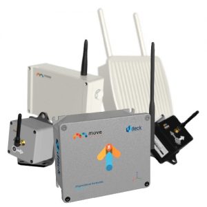
HYDRA-G
HYDRA-G is a compact, remote sensing monitoring system designed for early warning and real-time measurements of sub-millimetric displacements in buildings, dams, tunnels, and cut-slopes.
HYDRA-G is able to provide real-time monitoring of civil structures and cut-slopes deformations and trigger early-warning alerts in case of impending collapses to evacuate people and machinery at-risk.
With a scan range up to 800 metres, the system provides the high-accuracy and resolution radar technology. HYDRA-G exploits the cutting-edge ArcSAR technology, providing a spatial resolution of centimetres with updated displacement information every 30 seconds.
An optical and infrared HD camera provides real-time visual inspection of monitored areas, and radar data are draped on a 3D model of the scene created by the built-in laser. The industry-leading HYDRA Guardian software provides an easy-to-use and powerful tool to visualize and interpret radar data, and perform analysis of displacement trends of structure and cut-slope movements. Moreover, SurfScan is a dedicated, real time building displacement and deformation analysis software.
Description
Technical specifications
Accuracy : <0.1mm (Line of Sight)
Spatial Resolution : Range 0.2m, Azimuth: 8mrad
-
- 10m, 0.2m by 0.08m
- 100m, 0.2m by 0.8m
- 500m, 0.2m by 4.00m
Max operating range :
-
- 200m (Low Power configuration)
- 800m (High Power configuration)
Field of View : Up to 360° (Horizontal) x 30° (Vertical)
Operating Temperature : -20°C to +55°C
Acquisition Time Interval : 30 seconds
Power consumption : 100W
Supply : 110/220 V AC – 12/24 V DC
Supply autonomy : 2 hours without mains power
Environment : IP65
Benefits
Non-intrusive technology: no pointers or devices to be installed on the target.
Hyper spatial resolution: to detect even the smallest displacement with sub-millimetric displacement accuracy.
Fast acquisition rate: 30 seconds for a full resolution scan.
Short range and large angular coverage capability: to track in real-time thousands of points in the monitored scenario.
On-site results: data provided in real time with instant processing.
3D representation and visual imaging: to ease data interpretation of the monitored area.
Compact and portable solution: easily transportable from a location to another and installed by one single person.
High availability with low maintenance costs: minimal moving parts and low profile design to guarantee robustness and maximum availability in harsh environmental conditions.