DUALEM 21s
The DUALEM 21s is a conductivity meter that simultaneously measures the conductivity and magnetic susceptibility of a terrain at 4 measurement points located at different depths.
Operation with the DUALEM 21s
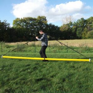
The DUALEM 21s is equipped with two dual geometry receiver coils (horizontal HCP/Vertical: PRP) allowing it to jointly perform 4 measurement points
| Transmitter Distance | 1-m HCP1 | 1.1m PRP1 | 2-m HCP2 | 2.1-m PRP2 |
| Depth (m) | 1.6 | 0.5 | 3.2 | 1 |
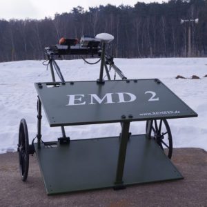
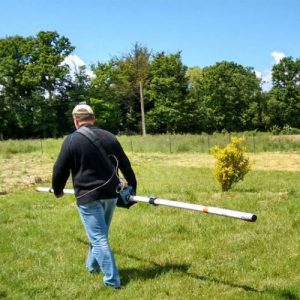
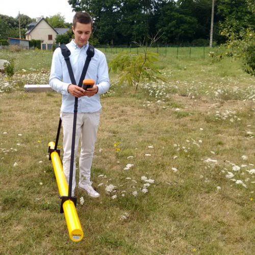
It carries out measurements continuously ans records on the datalogger. All measurements can be georeferenced and associated with a GPS. Only 8kg. It’s usually carried by an operator on foot. It can also be easily mounted on a towed truck
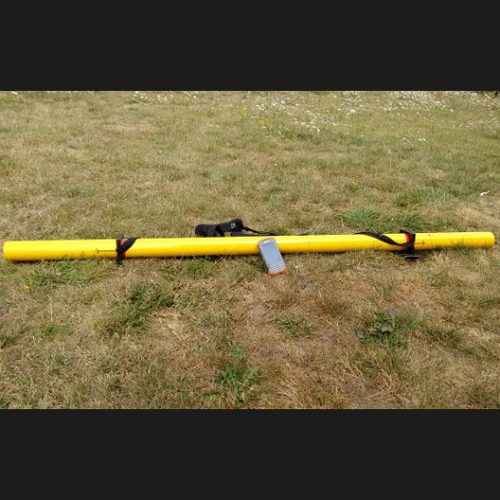
Description
Technical Specifications
the ARCHER2 data logger connects in Bluetooth (10 range)
Transceiver spacing: HCP1: 1 m ; PRP1: 1.1m ; HCP2: 2m ; PRP2: 2.1m
Operating frequency : 9.0 kHz
Power supply : rechargeable battery 3W/12V DC (about 20H of autonomy)
Quantities measured: Conductivity HCP (HC) et PRP (PC) ; Inphase HCP (HI) et PRP (PI)
Measuring range : HC/PC: +-3000 mS/m ; HI/PI: +-300 ppt
Precision of measurement : HC/PC:+/- 0.2mS/m ; HI/PI: +-0.07 ppt
Transport : 250 x 18 x 18 cm / 24kg
weight : 8 Kg
Advantages of DUALEM 21s
Bluetooth connection with the data logger (8m range)
Power supply : rechargeable battery 3W/12V DC (about 12 hours of continuous work).
Lightweight and esay to carry : only 8kg
Manufacturer: DualEM (Canada)
Applications
Applications
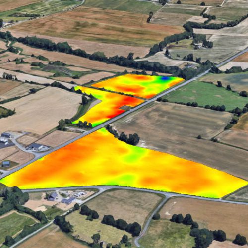
The Dualem is particularly suitable for shallow studies requiring good measurement perfomance. The mapping of soil conductivity variations for many applications, particularly for agriculture (argilosity, salinity and soil moisture content) or geotechnical and environmental applications (water search, location of anomalies, extension of polluted ares).
It can also be used tolocate buried objects (networks, tanks, concrete, metal object, ect…)
Data acquisition
Georeferencing of all profiles (GPS built into the datalogger or external GPS).
Display navigation instantly on the datalogger during acquisition
Export KML profiles
Measurement of inclination and bearing of the sensor
Treatment
Thanks to the 4 measurement points : possibility to make 2D slices (x, z); 2D (x, y) sections; and 3D blocks.