OASIS MONTAJ
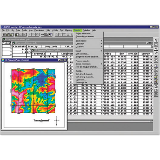
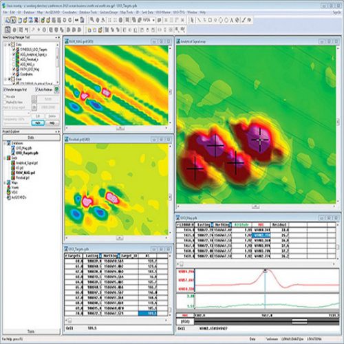
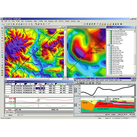
Oasis montaj provides a powerful suite of modelling and analysis tools for advanced understanding of the Earth’s subsurface and subsea environments. Process, map, QA and interpret all your data, including ground and airborne survey geophysics, geochemistry and geology, within one dynamic, 3D environment.
- Visualize and analyze all available data to improve the quality of interpretations and inform project decision making.
- Create complex 3D earth models of the subsurface for sharing information with colleagues and other stakeholders.
- Access over 15 geoscience extensions for all your data processing, interpretation and modelling needs.
- Improve team productivity
- Maximize all you data assets
- Collaborate across disciplines
- Make confident decisions
Categories: Gravimetry, Software
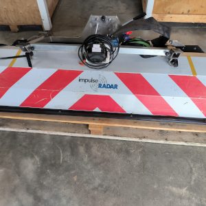
Tag: gpr
Description
Technical specifications
Data import and organization.
Several databases management.
Data processing (filtering, ect.) and QA/QC.
Creation of quality cards.
3D Visualization of detected targets in sub-surface.
Interactive map data pointing.
SRi integration.
Extensions available
Geophysical data processing
- Gravity and Terrain Correction.
- Induced Polarization.
- Praga Radiometrics.
Geophysica data interpretation
- MAGMAP
- Gravity and Magentic Interpretation (Inversion).
- GM SYS : Modélisation.
Pyrotechnic objects detection
- UXO Land.
- UXO Marine.
- UXO Analyze.
