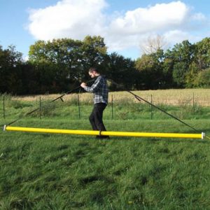
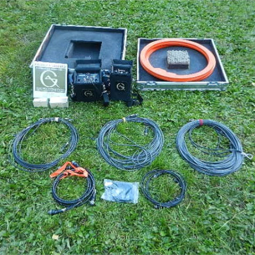
EM34-3 RT
he EM34-3 is a simple-to-operate, cost-effective instrument for the geologist and hydrogeologist alike; application have been particularly successful for the mapping of deeper groundwater contaminant plumes and for the exploration of potable gourndwater resources.
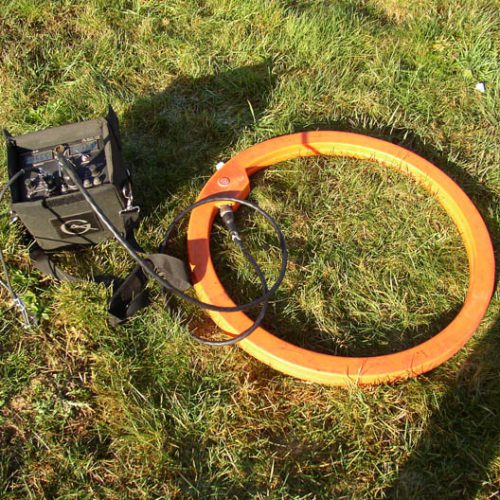
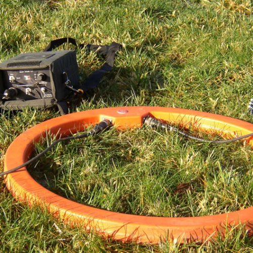
Using the same inductive method than the EM31-MK2, the EM34-3 uses three intercoil spacings- 10,20 and 40m – to provide variable depths of exploration down to 60 meters. With three intercoil spacings and two dipole modes (horizontal as show, and vertical) at each spacing vertical sounding can be obtained. In the vertical dipole (horizontal coplanar) mode, the EM34-3 is very sensitive to vertical geologic anomalies and, as a consequence, is widely used for groundwater exploration in fractured and faulted bedrock.
It includes connectors for an analog signal output, as weel as an input which can be used with a rechargeable battery option. Digital signal output, required for data collection with the DL600/DAS70 system, is available as an option for all models.
Description
Technical Specifications
Dimensions
Rx Console: 19×13.5×26 cm
Tx Console: 15.5x8x26 cm
Rx & Tx Coil: 63 cm diameter
EM34-3XL Tx Coil: 100 cm
Case: 27.5x75x75 cm
Weights
Instrument: 20.5 kg; XL: 26.5 kg
Shipping: 43 kg; XL: 51 kg
Reference cable
Lightweight, 2 wire shielded cable
Power supply
Transmitter: 8 disposable or rechargeable “D” cells
Receiver: 8 disposable or rechargeable “C” cells
Acquisition
Measured quantities
Apparent conductivity in millisiemens per metre (mS/m)
Primary field source
Self-contained dipole transmitter
Sensor
Self-contained dipole receiver
Intercoil spacings & operating frequency
10 m at 6.4 kHz
20 m at 1.6 kHz
40 m at 0.4 kHz
Conductivity ranges
Conductivity: 10, 100, 1k mS/m
Measurement resolution
+/- 0.1% of full scale
Measurement accuracy
+/- 5% at 20 mS/m
Noise levels
Conductivity: 0.2 mS/m (can be greater in regions of high power line interference)