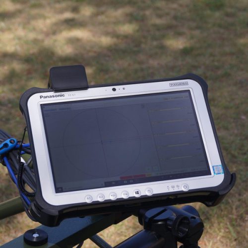
MonMX 5.01 software
SENSYS has further improved its multi channel survey software and is happy to announce the release of the refurbished version the MonMX survey software. This software is meant to replace the
predecessors MonMX 4 0 Lite for land based devices and MonMX Marine for underwater systems In the near future MonMX is going to be the survey software for all SENSYS multi channel applications including MXPDA, MXV3 and EMD 2. Beside a cleaner and more user friendly GUIwe changed a lot behind the scenes and added some functionality you will love when being in the field to survey.
Description
Technical Specifications
Applications
Multi channel survey software
UXO and Archaeology Surveys
Land based and Marine applications
Surveys with and without GPS
Features
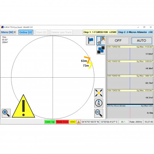
Navigation aid
Real time data display
System configuration
System supervision
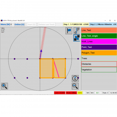
Native shape file support
Export of survey boundary
Marker point mode
Manufacturer : Sensys GmbH (Germany)
New version
Easier to navigate
New Measurement mode
Shape File Support
Marking obstacles made easy
Let shapes trigger your recording
MonMX5 is supporting surveys on local grids now, also odometers are supported.
The Pan Function
